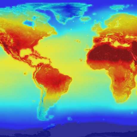
You don't have to be a climate scientist to access and analyze climate data!
There are a plethora of datasets available online for free:
National Snow & Ice Data Center
Make observations of how glaciers have changed over time, interpret graphs of Arctic sea ice extent for different years, and fly through and around the cryosphere on a Google Earth virtual globe.
22 Years of Sea Surface Temperature
The NOAA polar-orbiting satellites (POES) have been collecting sea surface temperature data for over 22 years. This animation is a compilation of that data from January 1985 - January 2007. Of note are the changes in the Gulf Stream, El Nino and La Nina cycles in the Pacific, and the seasonal changes in sea ice cover.
U.S. Drought Monitor
The U.S. Drought Monitor is a weekly map of drought conditions that is produced jointly by NOAA, the USDA, the National Drought Mitigation Center (NDMC), and the University of Nebraska-Lincoln.
Climate.gov Data Snapshots
Explore various datasets for the U.S., like monthly temperatures, precipitation, drought, and more, as well as global ocean conditions using these interactive maps.
Sea Level Rise Map Viewer
This map viewer illustrates the scale of potential coastal flooding after varying amounts of sea level rise. Users can simulate inundation associated with one to six feet of sea level rise at various scales along the contiguous United States coast, except for the Great Lakes.
Paleoclimatology Data Map
Find paleoclimate datasets—tree ring records, ice core data, historic lake levels, and more—from all over the globe using this interactive map from NOAA. Paleoclimate datasets can give us insight into what the climate was like thousands to millions of years in the past!


